
There was not a sign like this when we crossed into Alaska so we captured it on our way out via the Port Alcan crossing on the Alaska Highway


We were returning via the southern route through Yukon and British Columbia so there was no back-tracking.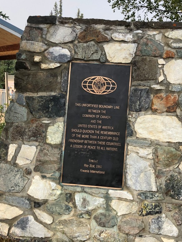
We crossed the US/CA border again, no problem then stopped at Buckshot Betty’s for breakfast, Canadian bread again, heavenly. ( Why can’t Americans make bread)
It didn’t take long before we were back in the smoke again. We’d had no cell connectivity for a couple of days so we had no idea where the fires were, and it seems we’d just run into one.
The work crew were about to tell us what was ahead.
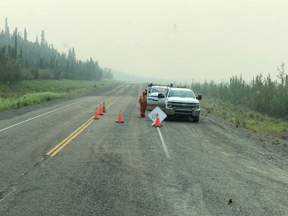
Fires had been jumping across this section of road which they’d closed several times.

No one was attempting to douse the flames, just keep it contained


Finally left the smoke behind and back to road construction. We read that this 90 mile stretch of road was the toughest of the Alaska highway to build. In fact a year after it was built in 1943, this entire stretch of road completely disappeared, due to permafrost melting the ice-rich soil, and it liquefied. This entire area is glacier lakes and rivers and they’re still experimenting with soil and drainage
Next morning we drove into Haines Junction, noted for Dr. Michelle Oakley, Yukon Vet, from Nat Geo and found a lovely bakery. Of course it was located on a narrow residential street with construction in progress, but it looked too good to miss.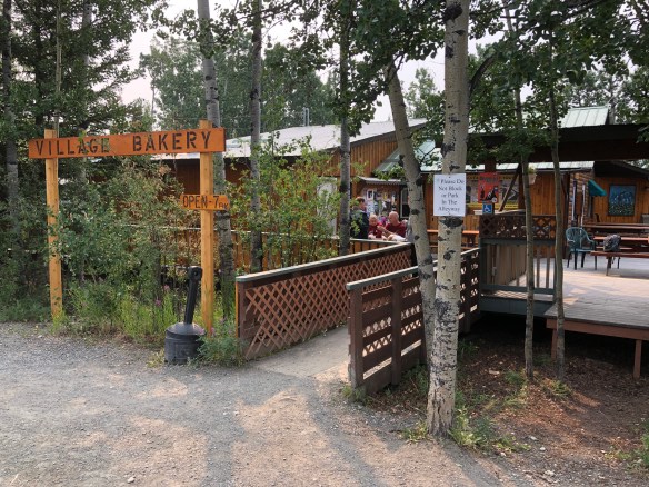
We just pulled over and went in and glad we did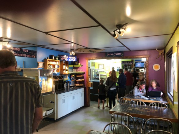
Just had to eat outside in case we had to move
This is the start of the Yukon river


Stopped at Marsh Creek overnight which was full of young families and teenagers on vacation.

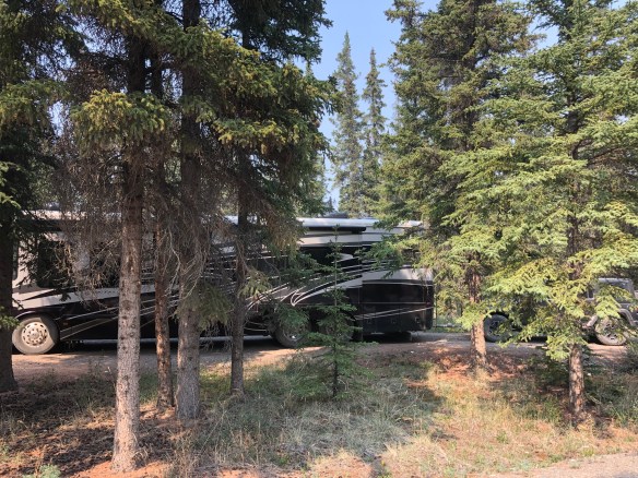
At this point our object was keep clear of the smoke so we’d drive for 4 hours stop, stay in the coach, then leave the next morning.
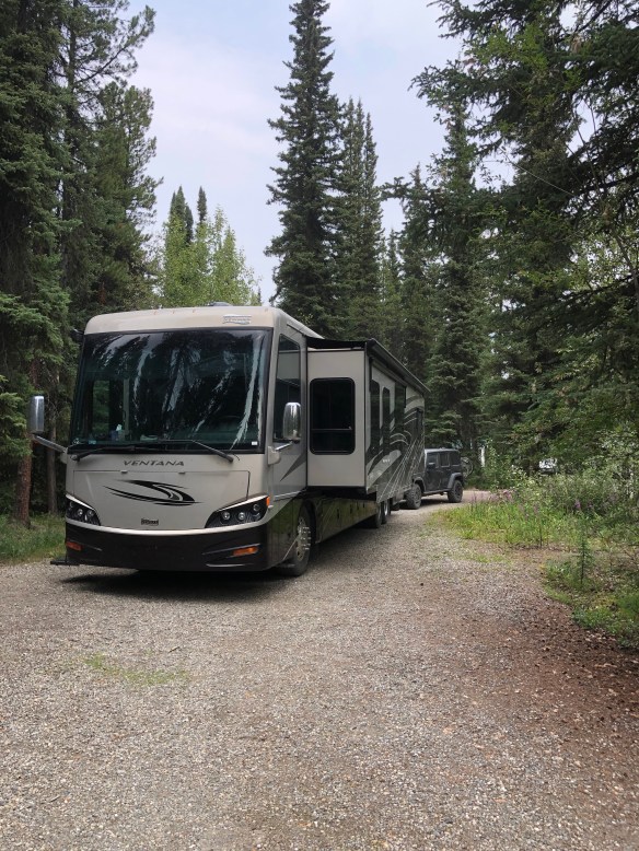
This overnight was in Big Creek campground a few miles west of Watson Lake and where the temperature suddenly dropped from 80’s barely making it to 60 degrees
Steve met Brian the guy next door who was from Ontario (we think) and on his way north
Nugget City, population 25
 The top of the Cassiar Highway where we stopped for breakfast

This is the point when I realize we haven’t seen a grocery store in two days of driving and we’re about to drive into the backwoods of British Columbia for 450 miles. Hmmm…..
