We were a bit surprised by the narrowness of route 118 going from Alpine to Big Bend, just a 2 lane road with twists and turns, 70 mph speed limit, hills and dales, but a lot easier to traverse on the way down than the snow on the return. Does it really snow in SW Texas?

There were no towns between Alpine and Big Bend about 80 miles. It’s odd, coming from the east where even rural areas are well populated, we were going for hundreds of miles seeing ghost towns with boarded up dwellings and abandoned vehicles.
About 20 miles before our destination we began to see signs of life in the way of an odd trailer in the distance a mile or so off the road. We were told later that people feel cramped if less than than 20 acres from their neighbor and some could well be part of the witness protection program

We were heading for the Maverick Ranch and Lajitas Golf Resort

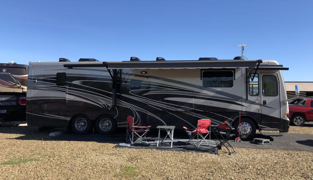
Our site at Maverick Ranch
As you can see, very few people when we arrived and we had the entire pool to ourselves. There were quite a few at the hotel, but they had their own amenities

Hallway leading to 2 restaurants on property, where late night deserts were a popular choice for us
This was the Terlingua cemetery next to the Ghost Town where those buried had died in mining accidents in the late 1800’s. Those that were still living about 100 of them were laying low in teepees and brightly colored school buses, reminiscing about the 60’s. Wondered whatever happened to them. Anyway, they’ve found a peaceful and quite lovely part of the country to ‘hang”
A very relaxed Steve watching all the action

 The Rio Grande, the border between USA and Mexico, in places very narrow and walk-able from one side to the other, the brownish color is due to the limestone and other minerals. This area is rich in minerals and there are signs of past mining all over

The Rio Grande, just down the road from our park
There were many signs along the roads warning of “loose livestock”
We saw these 2 pals a couple of times and they were always together

They have nicely designed picnic areas around here

The scenery here was magnificent and photos could not pick up the beauty of the area


Mule Mountain
This is the Santa Elena Canyon that’s visible from 10 miles away. A beautiful sight that is popular with rafters and kyakers


People crossing the Rio Grande

After crossing the river there is a path going into the canyon
One day we drove to Presidio, which is a border town and the road ran parallel to the Rio Grande the entire journey and through the mountains. There were several parts of the road that had 90 degree hills, and impossible to see the other side until right at the apex.
We crossed the border and found a restaurant in Ojinaga, Chihuahua called Silverados for lunch, and for $6 we were both completely full.

Lunch at the Silverado in Mexico
We were also trying to get an idea of the pharmaceutical business, and discovered that yes, you can buy drugs cheaply without a prescription, so will use this later down the road
Southwestern Texas is the most dramatic and beautiful scenery we’ve seen so far, totally wild, rugged and unspoiled
